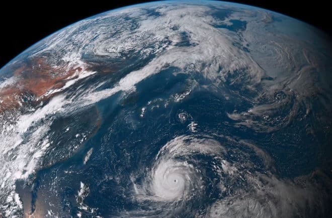
We have seen how it is important to interpret weather signs in order to understand weather evolution. And this is particularly true in the Mediterranean area, where variables are more frequent than in other zones, such as along oceanic routes.
Even if we are able and used to look at the sky and clouds to understand what is going to happen, we can’t ignore what is the most important means to have a weather forecast: Internet. An updated weather bulletin is always necessary; then, we can compare its data with the surrounding natural elements and the observations, even instrumental (pressure, humidity, temperature) we can make during our travel.
On the web, we’ve plenty of options to choose from. Actually, maybe the problem is represented by the large amount of websites and information, sometimes mutually contradictory.
So, how can we get out of this jungle of data, plans and maps?
A first step for an efficient selection consists in rejecting all websites which are not specialized in forecasts for sailors. Specific websites are more reliable because they use some mathematical models based on the most important aspects for us: wind intensity at different heights, sea conditions, storms, rough sea. Moreover, they usually analyse other important data which give a more complete overview, such as humidity, temperature, air pressure.
So, what is the best website? In general, specific weather forecasts are reliable but it would have happened to each of us to find some differences, sometimes considerable, between a website and another one and between forecast and reality.
As regards the first matter, that is discrepancy among websites, there are two good habits to observe. The first one is to not use a single source but rather two or more websites. The second one is to choose the sources depending on our position and route.
Passing from a forecast to another one is one of the best possibilities the Web gives us. For example, if we want to have a one-day- trip in a very small area, windfinder is rich of information and it is provided with a reliable storm alert service. For longer navigations, Meteo France and Consorzio Lamma are very good for the Thryrrenian area, while meteo.hr is very popular among all those who sail in the Adriatic area, especially along the Croatian coast.
If you want to have a more complete overview, with synoptic maps and satellite photos, wetterzentrale and Sat 24 are probably the most popular websites. They allow to see the passage and evolution of fronts, clouds, rains,storms, high and low pressure.
Grib files, too, are very efficient. They contain all the necessary information for a specific zone – pressure, wind, sea, etc.. – obtained by the main international forecast centres, like NOAA (USA) and ECMWF (UK). These data are public and they can be downloaded through an Internet connection, a satellite phone or a VHF device. The software are available in free or pay versions. It’s sufficient to do a quick search on the Web to find a lot of them. The most popular one is maybe ZyGrib. These files are very reliable but we have always to consider that they are generated automatically without any mediation.
On the contrary, pay services are usually supplied through a telephone contact. In these cases, the relationship is with a person who, on the other end of the line, receives our information (route, position, speed) and produces a very customized forecast. The surplus value, even from a psychological point of view, is the human relationship with someone who listens to us and thinks with us by using some specific data and his ability to interpret them.